

Hi, I'm Thomas
I like Geography, search tools, spatial cognition, and skiing.
Geographic Information Science
The demand for geographic information continues to grow. My research explores the way people interact with geographic information systems, the conceptual fundamentals of geospatial-temporal information, and the means for making GIS tools better.
Information Retrieval
The need to organize and make sense of data is the first step towards information gain. My research explores how people search for spatial information and identifies gaps between what users and receive.
Spatial Cognition
Informed tools are built based on our cognition and should not alter our ways of thinking. My research explores differences between people's understanding of vague and non-vague places, their bounds, and where those places are located. Building informed tools is using one's powers for good.
Projects
Work in Progress

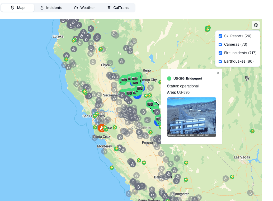
Experimental projects and prototypes currently in development. Contact me for preview links and demos.
Open Data Search and Discovery

ArcGIS Hub powers open data search and discovery for organizations and governments.
Tools for OSM Quality

Map notes and Keep Right consistency checks for the Open Street Map iD editor.
Visualizing Book Adoption

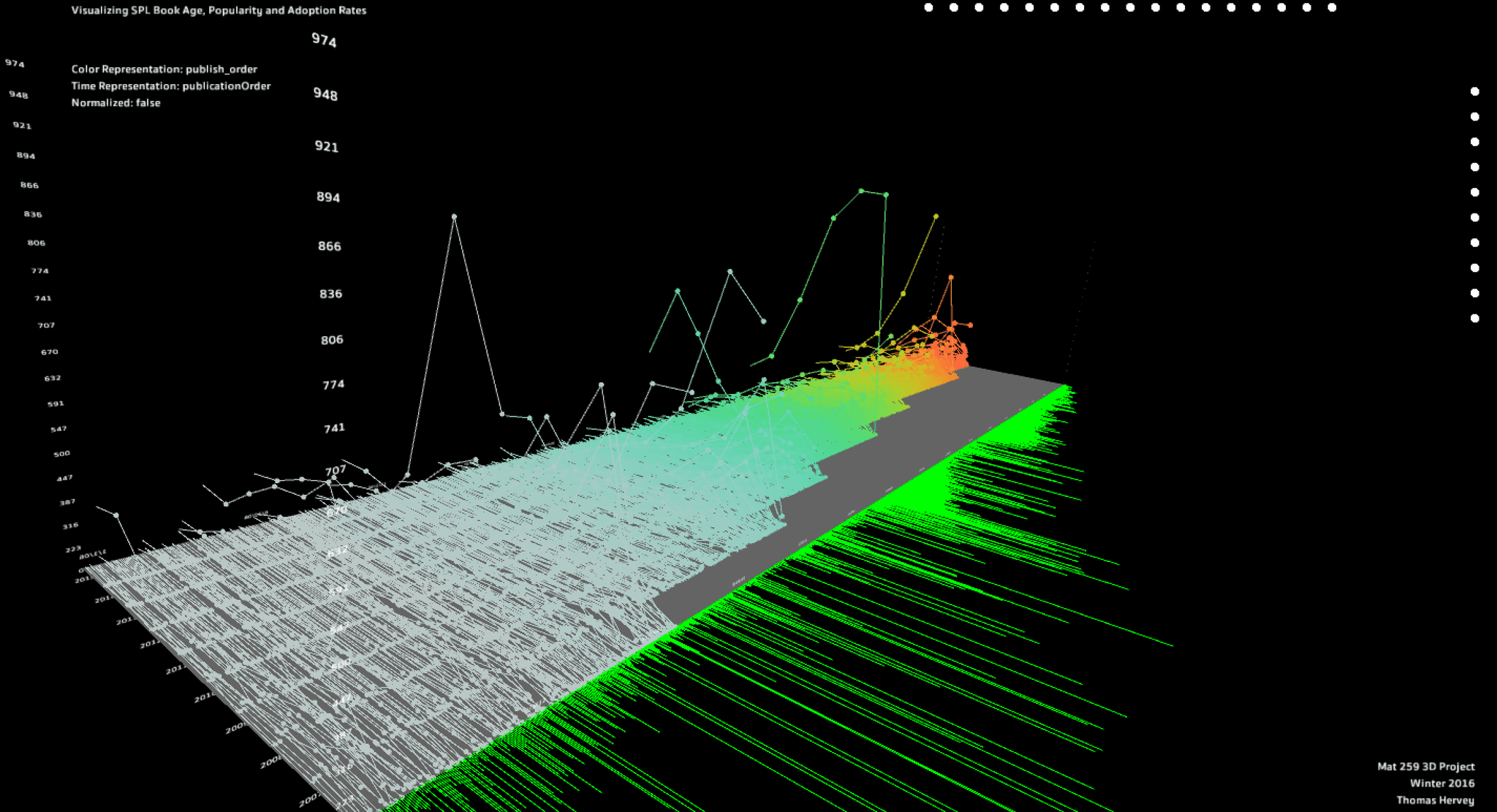
Explore relationships between book popularity, topics, and circulation at the Seattle Public Library.
Zurich Trips Visualization
Interactive visualization of travel trips around Zurich using DeckGL, maplibre, and react-maps.
Lights, Camera, Motion, Action.

Skeletal tracking links dance expressions with dynamic lighting
Visualizing Early Baltimore

Georeferenced, digitized, and constructed a digital elevation model (DEM) of historic Baltimore topography
Articles
No articles available at the moment. Check back soon!
Photos


